Multi-scale Integrated Sensing and Simulation (MINTS)
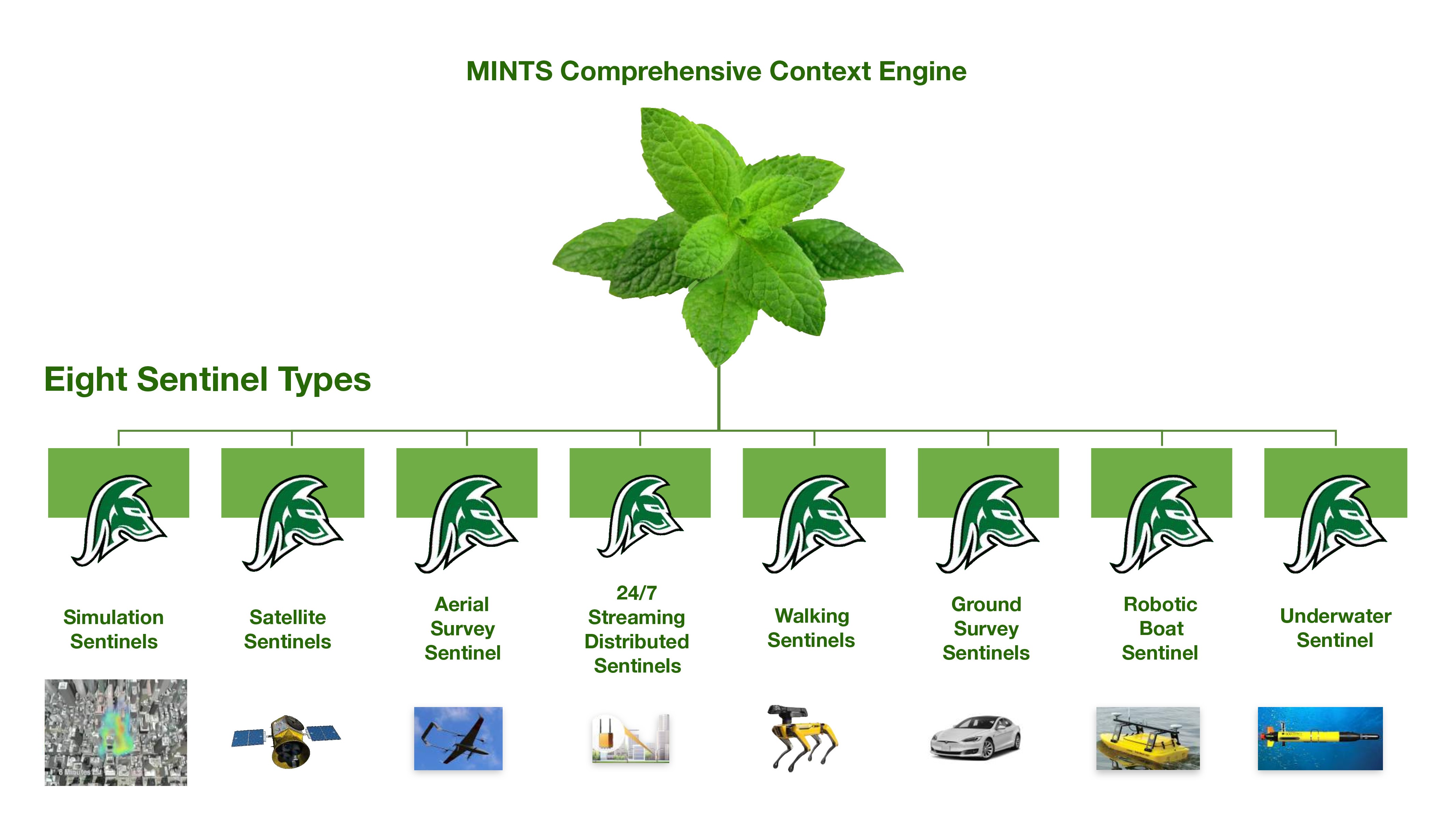
MINTS is a multidisciplinary platform developing intelligent sensing systems headquartered at the University of Texas at Dallas (UTD). The platform hosts experts from the UTD department of Physics as well as other academic branches within UTD. The MINTS initiative is designed to provide commanders, environment officers, intelligence officers, physicians and the general public with actionable insights and situational awareness using data gained from multiple spatial and temporal data packages.
Members of the MINTS consortium strongly advocate in advancing research in natural resources, environment and health, safety and security, transportation and Geo-spatial applications. With a broad collection of data hubs, MINTS plan on improving upon current data sets available while providing in depth insights to stakeholders as well as the general public. With analysis done through modern ML algorithms, MINTS is capable of furnishing unique perspectives that can be missed with conventional data analysis techniques [1].
- ↑ Lary, D. J. (2018). The multi-scale integrated intelligent interactive sensing consortium (mints).
