Difference between revisions of "Robotic Team"
| Line 7: | Line 7: | ||
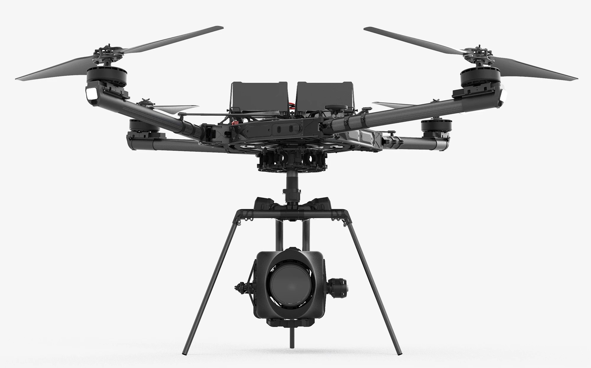
= Unmanned Arial Vehicle (FreeFly Alta-X) = | = Unmanned Arial Vehicle (FreeFly Alta-X) = | ||
[[File:AltaX.jpg|alt=|frameless|400x400px]]<br /> | [[File:AltaX.jpg|alt=|frameless|400x400px]]<br /> | ||
| − | Figure adapted from https://cdn.shopify.com/ | + | Figure adapted from https://cdn.shopify.com/ <ref>[https://cdn.shopify.com/s/files/1/0257/4181/products/AX_CarbonGroundView_Sitting_02.jpg?v=1568225876]</ref> |
The robot team have comprehensive sensing capabilities and onboard Machine Learning so that they can learn the hyper-spectral remote sensing signatures new environments in real-time and provide real-time processing of sensor feeds to help answer the questions: (1) Is the area safe (e.g. from chemical agents)? (2) What survey patterns are best to use. (3) Is the water safe (to enter/to drink). (4) What protective clothing may be needed. | The robot team have comprehensive sensing capabilities and onboard Machine Learning so that they can learn the hyper-spectral remote sensing signatures new environments in real-time and provide real-time processing of sensor feeds to help answer the questions: (1) Is the area safe (e.g. from chemical agents)? (2) What survey patterns are best to use. (3) Is the water safe (to enter/to drink). (4) What protective clothing may be needed. | ||
Revision as of 22:19, 28 April 2021
MINTS have been deploying multiple robotic systems for the collection of data that in turn provides valuable insights for preemptive human protection. The following are two two such systems that are designed to work together.
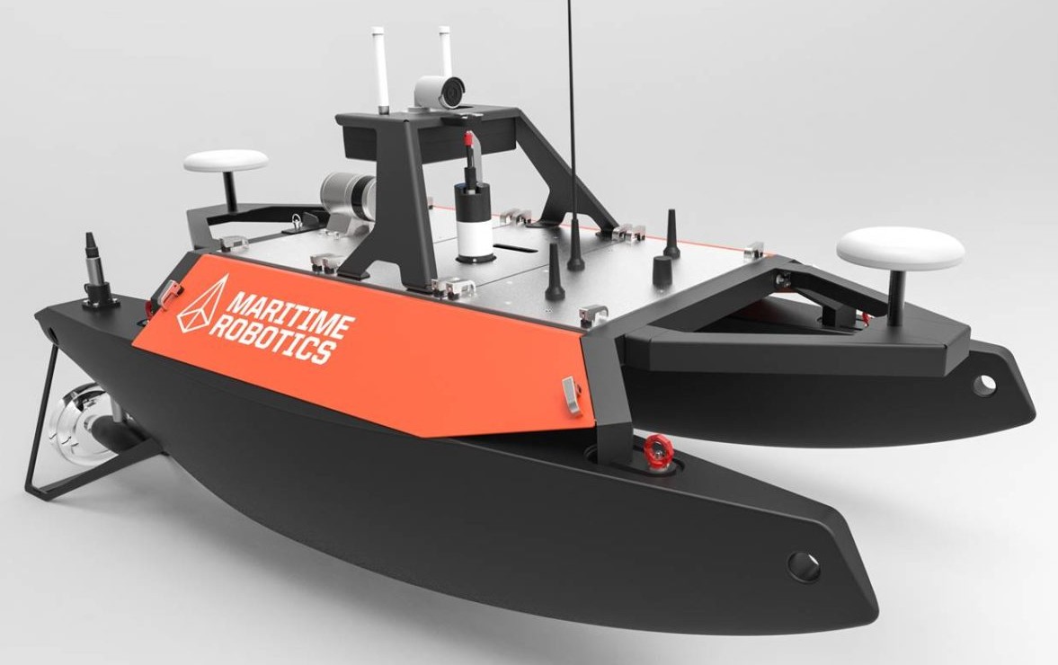
Robotic Boat (Maritime Robotics Otter)
Figure adapted from https://www.wevolver.com/ [1]
Unmanned Arial Vehicle (FreeFly Alta-X)

Figure adapted from https://cdn.shopify.com/ [2]
The robot team have comprehensive sensing capabilities and onboard Machine Learning so that they can learn the hyper-spectral remote sensing signatures new environments in real-time and provide real-time processing of sensor feeds to help answer the questions: (1) Is the area safe (e.g. from chemical agents)? (2) What survey patterns are best to use. (3) Is the water safe (to enter/to drink). (4) What protective clothing may be needed.
